Professional Drone Surveys & Inspection
Advanced Aerial Survey Technology for Comprehensive Property & Site Assessment
Professional Drone Surveys & Inspection
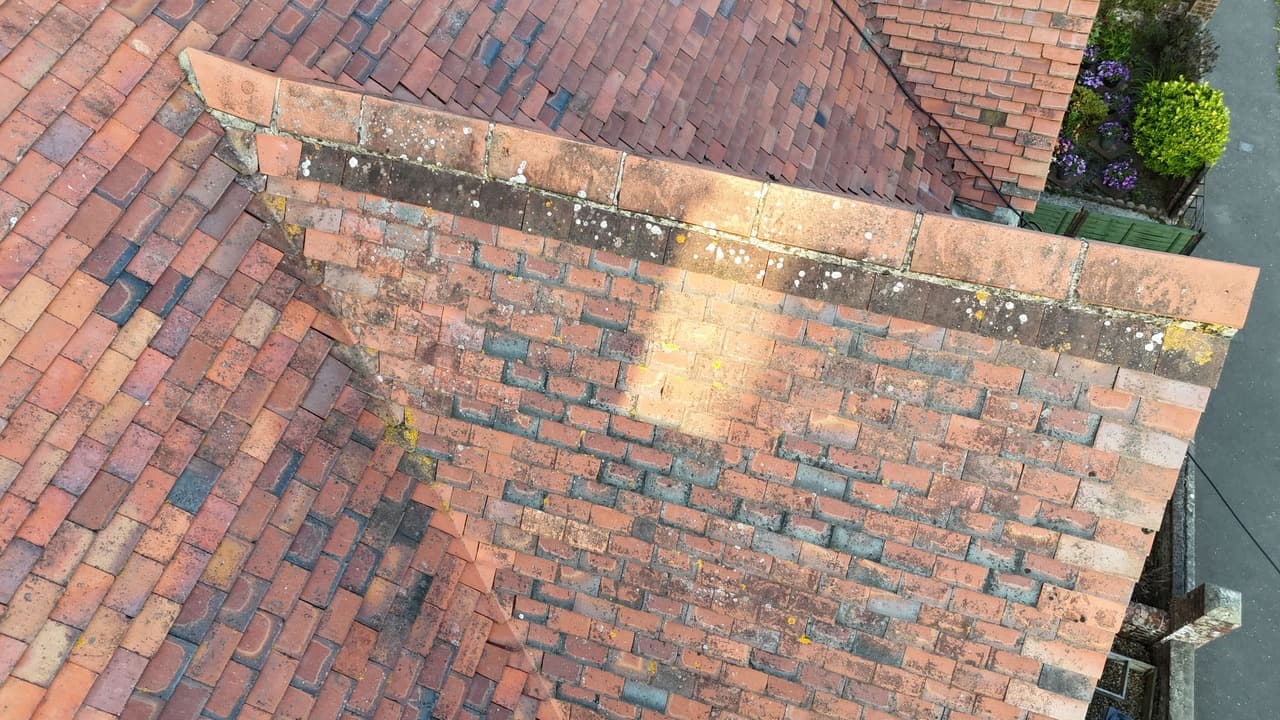
Revolutionize your property assessment with our professional drone survey services. Our certified drone pilots utilize advanced aerial technology to conduct comprehensive surveys of roofs, buildings, and sites, eliminating the risks and costs associated with traditional survey methods. Using high-resolution cameras and specialized sensors, we capture detailed aerial imagery and video footage of even the most inaccessible areas without requiring scaffolding, ladders, or costly access equipment.
Our professional drone operations provide early identification of structural issues, damage assessment, and maintenance planning opportunities. We deliver comprehensive visual documentation with detailed analysis, annotated imagery, and professional reporting. Our advanced post-production capabilities ensure clear, actionable insights that support informed decision-making for property managers, surveyors, insurance assessors, and homeowners seeking detailed property condition reports.
What's Included
- Certified A2 CofC drone operations with full CAA compliance
- High-resolution aerial imaging and 4K video documentation
- Comprehensive property and structural assessment coverage
- Professional analysis and detailed reporting with annotated imagery
- Secure digital delivery platform with organized image galleries
- Fast, efficient service minimizing disruption and eliminating access risks
Ready to Get Started?
Let's discuss your project and create something extraordinary together. Get a personalized quote tailored to your specific needs.